Technical documentation for establishing
land plot boundaries
Technical documentation for establishing the boundaries of a land plot in kind (on the ground) is one of the types of land management documentation mentioned, in particular, in the Land Code of Ukraine, the Laws of Ukraine "On Land Management", "On the State Land Cadastre" and other regulatory acts.
The developed technical documentation for establishing the boundaries is one of the documents that allows you to obtain an extract from the State Land Cadastre (extract from the SLC). Read more about the procedure and conditions for obtaining an extract from the cadastre on the page Procedure for obtaining an extract from the cadastre.

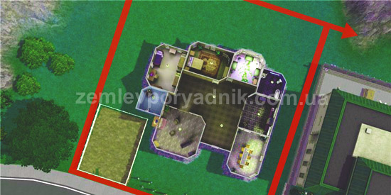
As its name implies, the main purpose of preparing technical documentation for establishing boundaries is to determine the boundaries (in other words, the borders) of a land plot on the ground. Accurate determination of the boundaries is important, among other things, for the correct installation of the land plot fence.
Based on the cadastral survey data, a land surveyor, when developing such technical documentation, draws up a cadastral plan of the land plot with the relevant coordinates of turning points, determining the composition of the land, owners of adjacent land plots, information on restrictions on the use of the land plot, etc. The technical documentation also includes an XML exchange file.
In addition to establishing (restoring) the boundaries of a land plot, technical documentation is also required in the following cases:
- entering into the state land cadastre data on plots for which ownership arose before 2004 (there is a pink State Act), but which do not have cadastral numbers. It is precisely for the purpose of assigning a cadastral number that technical documentation for establishing the boundaries of a land plot in kind needs to be developed;
- in the case of a previously assigned cadastral number, but in the absence of data on the land plot in the State Land Cadastre;
- assignment of a cadastral number to a land plot for which documents have not been drawn up before, but on which there is a residential building and other real estate objects, the ownership of which is registered in accordance with the established procedure (recently, legislators have restored this possibility);
- to correct deficiencies (technical errors) regarding incorrectly defined boundaries (coordinates), overlaps (intersections) with other plots and to correct other technical data regarding the land plot.
The above-mentioned cases of the need to prepare technical documentation for establishing the boundaries of a land plot were formed mostly after the entry into force of the Law of Ukraine "On the State Land Cadastre" and are intended to address the issue of filling the State Land Cadastre with information on land plots.
Also, don't forget to like our beautiful Facebook and Instagram pages;)
See also: division of a land plot, topographic survey of a land plot, land plot purpose code


