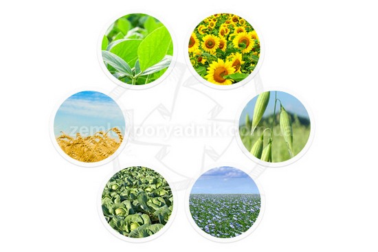
Crop rotation project in Ukraine. Ecological and economic justification of crop rotation.
The main goal of the draft environmental and economic justification of crop rotation (crop rotation project) is to preserve the fertility of soils intended for growing crops. For some time now, our state has been thinking about preserving and improving soil fertility, including by introducing binding regulations that oblige Ukrainian farmers to use land in accordance with crop rotation projects approved in accordance with the established procedure.

Crop rotation is a scientifically based organization of crop rotation in space and time, based on the peculiarity of biological interaction of such crops and their impact on soil productivity.
The main essence of a crop rotation project is to determine the frequency of crop rotation in one field, taking into account the following requirements:
- for sunflower - not less than 7 years later;
- for corn in a crop rotation or on a field temporarily withdrawn from the crop rotation - for 2-3 consecutive years;
- for winter wheat, potatoes, millet - not less than in 2 years;
- for flax - not less than in 5 years;
- for winter rye and barley, spring barley, oats, buckwheat - in at least 1 year;
- for lupine, cabbage - not less than 6 years;
- for perennial legumes, leguminous crops (except lupine), sugar and fodder beet, winter and spring rape - not less than 3 years;
- for medicinal plants (depending on their biological properties) - 1-10 years.
An essential component of a crop rotation project is the customer's terms of reference for the development of a crop rotation project, which serves as a starting point for land managers and includes the following important information:
- specialization of the farm for which the crop rotation project is being developed;
- initial conditions for the design to determine environmental and economic conditions, requirements for the formation of engineering and social infrastructure.
In general, the project of crop rotation and land improvement includes the following components:
- task for the preparation of a land management project;
- explanatory note;
- a plan for the organization of land ownership (land use), land arrangement, placement of industrial buildings and structures, engineering and social infrastructure facilities and land protection measures;
- documents confirming the area of land ownership (land use);
- plan for the organization of the crop rotation area (design of crop rotation fields with the definition of their types and types, taking into account the specialization of agricultural production, crop rotation) (in case of implementation of measures for the organization of crop rotation under the project);
- plan of the existing state of land use in terms of land ownership and land use, land, restrictions and special conditions of land use;
- plan of agricultural production groups of soils and slopes;
- materials of geodetic and land management surveys;
- materials for transferring the boundaries of land (in case of land change under the project) to the ground;
- materials of soil surveys (if available);
- copies of agrochemical passports of fields, land plots (if available) in case of implementation of crop rotation measures under the project;
- a scheme of placement of crop predecessors (in case of implementation of crop rotation measures under the project);
- materials from the field history book for the last three years (if available);
- materials for transferring the designed crop rotation fields to the ground (in case of implementation of measures to organize crop rotation under the project);
- explanatory note with data on the land management object, contractor and description of works, design decisions on organization of crop rotation fields, arrangement of land and land protection measures, plan of transition to crop rotation;
- textual materials, which include, in particular, decisions of competent authorities, materials of geodetic and land surveys, soil survey data, field agrochemical passports, land titles, data on the history of crops for the last 5 years;
- graphic materials consisting of a land use plan, a scheme of crop predecessors, a plan of relief and soil groups, a plan of land ownership organization (location of land, industrial buildings, infrastructure facilities), a scheme of territory organization, etc.
The crop rotation project is developed on the basis of the customer's application and approved by the same customer. Then it is only necessary to implement the provisions of the project in practice during farming.
Main regulatory sources for crop rotation project:
- The Land Code of Ukraine;
- The Law of Ukraine "On Land Management";
- The Law of Ukraine "On Land Lease";
- The Law of Ukraine "On the State Land Cadastre";
- The Law of Ukraine "On Land Protection";
- Resolution of the Cabinet of Ministers of Ukraine No. 164 of February 11, 2010 "On Approval of Standards for Optimal Crops Ratio in Crop Rotations in Different Natural and Agricultural Regions".
Also, don't forget to like our beautiful Facebook and Instagram pages;)
See also: technical documentation for establishing boundaries, extract from the state land cadastre, division of a land plot in Ukraine


