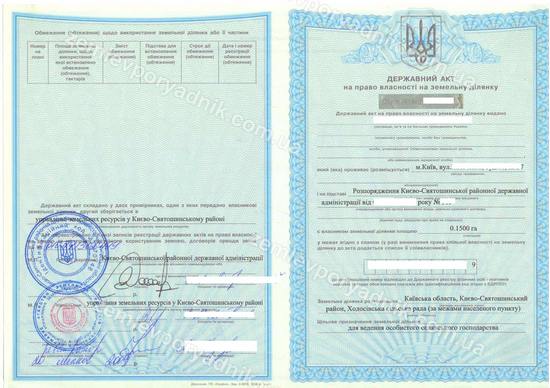
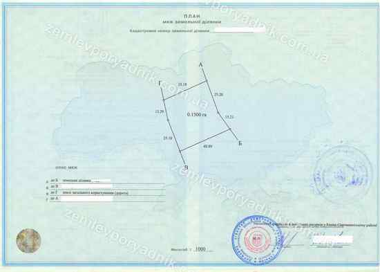
State act on a land plot in Ukraine
This article will focus on the state act of land ownership and its evolution from 1992 to 2012 inclusive. During this period, a state act on the right to permanent use of a land plot was also issued, but such an act was usually obtained only by certain categories of institutions and organizations. We will familiarize you with the history of the state act, which certified the right of private ownership of a land plot.
How has the state act on the right of private ownership of land evolved in Ukraine?
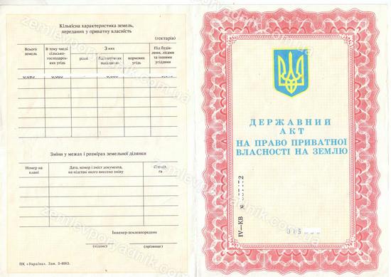
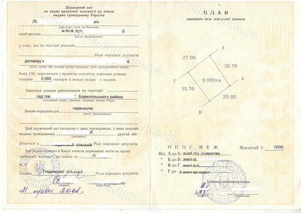
A state act in the period 1992-2001
From 1992-2001, Ukraine had a pink (red) state act on a land plot that did not contain the cadastral number of the land plot. The only exception to this was the city of Kyiv, where the Kadastr software package was introduced in the second half of the 1990s. The Kadastr software was used to maintain the Kyiv City Land Cadastre. State acts for a land plot issued in Kyiv after the launch of the city land cadastre contained a cadastral number of a land plot of a shortened type, for example, 66506038, without specifying the code of administrative-territorial division for Kyiv (8000000000).
In addition to the lack of information on the cadastral number, pink acts could contain data on several land plots with different purposes. For example, for personal farming, as well as for the construction and maintenance of a residential building and outbuildings (homestead). This caused certain inconveniences in cases where the owner intended to transfer (sell, donate) one of the plots to another person.
If your state certificate for a land plot is pink and does not have a cadastral number, then to re-register the land plot to another person, you must go through the procedure for assigning a cadastral number to the land plot. The result of assigning a cadastral number to a land plot is an extract from the State Land Cadastre about the land plot. Without such an extract, it is currently impossible to sell, donate, exchange or inherit a land plot.
Regulatory act for reference: Resolution of the Verkhovna Rada of Ukraine No. 2201-XII of 13.03.1992 "On Forms of State Acts on Land Ownership and the Right to Permanent Land Use"
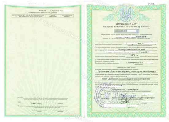
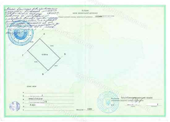
State Act in the period 2002-2008
The adoption of the new Land Code of Ukraine in 2001 necessitated the adoption of new laws that were a logical continuation of the provisions of the Land Code, as well as the harmonization of bylaws with the latter. In this regard, in 2002, a new form of the green state act was approved.
It was no longer possible to indicate more than one land plot in the new state act. The launch of the state land cadastre database made it possible to assign a unique cadastral number to each land plot entered in the cadastre. Each cadastral number consists of 19 digits separated by colons and contains information on the code of the region, cadastral zone, quarter and the number of a specific land plot.
The peculiarity was that the green state act allowed determining the shares of co-owners of a land plot directly in the form of the state act itself.
The green state act, like the pink one, remains valid to this day. However, in order to conclude transactions with respect to a land plot, it is still necessary to obtain an extract from the state land cadastre.
Regulatory act for reference: CMU Resolution No. 449 of 02.04.2002 "On Approval of Forms of the State Act for Ownership of a Land Plot and the State Act for the Right to Permanent Use of a Land Plot"
State Act in the period 2009-2012
In late 2008, the need to improve the form of the state act approved in 2002 led to amendments to CMU Resolution No. 449 of April 2, 2002. The updated form of the state contract was printed on blue letterhead. The main changes to the form were to add a separate field to the state act to indicate the identification number (code) of the land plot owner.
The fact is that until now, the owner of a land plot has been identified by his or her surname, name, patronymic (if a legal entity, then by its name). When the name or title was indicated with errors, problems arose related to the disposal of rights to such a land plot. A state certificate with errors did not allow entering into any agreements, and this problem was solved, in particular, by issuing a duplicate state certificate due to the loss of the state certificate with errors. The updated form of the state act of 2008 solved such problems.
The blue state act also remains in force today, but in order to dispose of rights to a land plot, it is necessary to obtain an extract from the State Land Cadastre (SLC).
Regulatory act for reference: Resolution of the Cabinet of Ministers of Ukraine No. 1019 dated 12.11.2008 "On Amendments to the Resolution of the Cabinet of Ministers of Ukraine No. 449 dated April 2, 2002"
Extract and Certificate from 2013 to 2015
Since 2013, a number of laws have come into force that have separated the concept of registration of data on a land plot in the cadastre from the concept of registration of rights (ownership, use, easement, etc.) to a land plot.
Since 2013, the State Geocadastre (State Land Agency) has been responsible for entering data on a land plot into the state land cadastre, including assigning a cadastral number. Registration of rights is carried out by local governments, which are controlled by the Ministry of Justice. You can learn more about the procedure for registering rights to a land plot on the page Registration of rights to a land plot in the register of property rights.
Thus, an extract from the cadastre is issued as confirmation of the entry of data on a land plot into the State Land Cadastre. An extract (certificate) from the State Register of Real Property Rights is issued to confirm the registration of a right to a land plot.
Excerpt from 2016
From 2016 to the present, only an extract from the State Register of Real Property Rights is issued upon registration of the right to a land plot. A certificate of registration of ownership of a land plot is no longer issued.
Also, don't forget to like our beautiful Facebook and Instagram pages;)
See also: division of a land plot in Ukraine, assigning a cadastral number in Ukraine, topographic survey of a land plot


