Public cadastral map of Ukraine
Important information!
Due to the war in Ukraine, the public cadastral map was disabled for security reasons. But instead, you can use our solution - KadastrService - using the link below.
Try our new web service for checking land plot data in the State Land Cadastre
What can CadastreService:
- find information about the land plot by cadastral number (form of ownership, category, designated purpose code, type of use, area, as well as address and regulatory monetary value of the land plot, if any);
- check the correctness or availability of the land plot's designated purpose code;
- verify the correctness of the designated purpose of the land plot indicated in the cadastre;
- check the accuracy of the data on the area of the land plot;
- check the correctness of the data on the form of ownership of the land plot;
- check the accuracy of the data on the category of the land plot;
- show the location of the land plot on the map;
- show the overlap of land plots on the map, if any;
- create a route to the land plot using Google Maps.
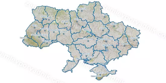
Starting from 2013, access to basic data of the State Land Cadastre in Ukraine was made public through the public cadastral map. Thus, in public cadastral map, you can find information about cadastral number of the land plot, its boundaries, area, ownership, designated purpose, etc.
Searching by cadastral number of the land plot
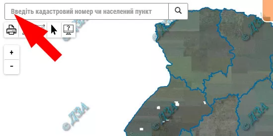
You can search a land plot by the cadastral number or by location of the land plot. In order to find the land plot by the cadastral number, you may enter 19-digit cadastral number in the form of search. Search form placed horizontally at the top of the web page. A colon between numbers is not required, since search engine puts colon automatically.

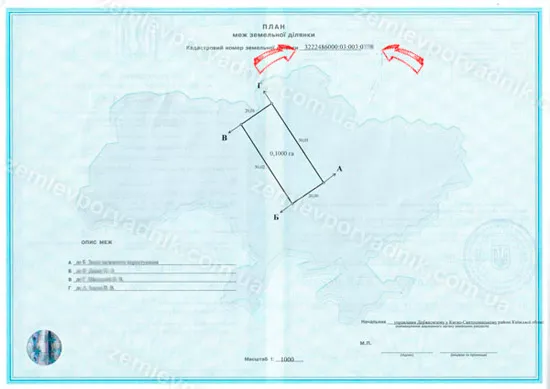
For example, the cadastral number of the land plot looks like 3220882600:03:001:0122. It can be found on the back of the state act of ownership to land, above a plan of the land plot.

Searching by location of the land plot
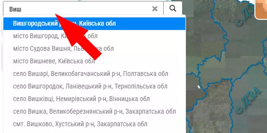
To find the land plot by location you may select the region, district and city (town, village) in the dropdown list on the left side of the web page area.

If you do not see your land plot, it means that it is not included in the state land cadastre. For further instructions, how to include your land plot in Ukrainian public cadastre, please, follow this link: technical documentation for the land plot boundaries in Ukraine.
Also, don't forget to like our beautiful Facebook and Instagram pages;)
Other services: excerpt from public cadastre, land allocation project, working project regarding removal, relocation and storage of the fertile layer of soil


