Zemlevporyadnik
Kyiv and Kyiv region
Land management works in Ukraine
The results of geodetic surveys serve as the initial data for land management works. Geodetic surveys usually include:
14years
in land management
5.0
Google rating
95 reviews40+
companies and institutions among our clients
Roshen, Kyivstar, Ukreximbank
high-precision surveying equipment
Land surveying
Services
Areas of work
Land management works
- Land allocation projects
- Сadastral number assigning
- Technical documentation for land plots
- Division (merging) of a land plot
- Changing purpose of a land plot
- Removal fertile layer of soil
- Crop rotation project
- Registration of land share
- Сadastral Info (extract)
- Normative Monetary Valuation
- Exchange file XML
- Land purpose code
Land surveying
Key services
Where most requests start
 01
01Land surveying
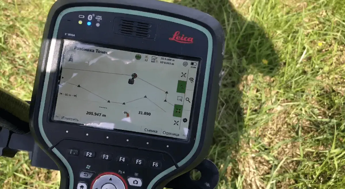
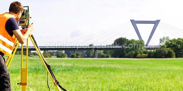
Our technical facilities allow us to provide land surveying works (geodesical and topographical works) with the high standarts.Regarding the Land surveying 02
02Privatisation of the land plots
We prepare the land allocation projects required to obtain land in ownership or lease.Regarding the land allocation projects 03
03Crop rotation projects
Our company develops crop rotation projects and secures obtaiment of all required approvals from authoraised bodies.Regarding the crop rotation projects 04
04Removal of the fertile layer of soil
Our company prepares working projects regarding the removal, relocation and storage of the fertile layer of soil.Regarding the removal of the fertile layer of soilLand surveying in Ukraine includes, in particular, the development of the following types of documentation:
- land plot allocation project;
- assignment of a cadastral number to a land plot;
- change of the designated purpose of the land plot;
- crop rotation project;
- working project of land management for removal (moving, storage), reclamation of fertile soil layer;
- technical documentation for establishing the boundaries of the land plot;
- technical documentation for the division/unification of a land plot;
- other.
- cadastral survey of the land plot;
- topographic survey of a land plot;
- establishing the boundaries of a land plot in kind (on the ground), etc.
In this case, cadastral surveying, among other things, involves determining the coordinates of the land plot, points of turning angles, and lengths of the sides of the land plot on the ground. Topographic surveying is carried out, in particular, to determine the height of the land plot.
Land surveying and geodetic works in Ukraine are performed by certified land surveyors and geodesic engineers. Since 2012, our company has been performing land management, topographic and geodetic, cartographic and land valuation works responsibly and efficiently. We have a staff of highly qualified land surveying engineers, surveyors who are able to perform any work related to land management and geodetic surveys efficiently and quickly.
Briefly about the main areas of land management, geodetic and other works
Project of land allocation for ownership or lease
The procedure for land privatization always involves the development of a project for the allocation of a land plot, usually from municipal or, less often, state-owned land. The mandatory basis for preparing a land management project for land allocation is a decision to grant a permit for the development of the project, which is issued by a local community body. Land plots are usually leased by enterprises/entrepreneurs with the obligatory preparation of a land plot lease project on the basis of the relevant permit.
Read more about the land management project for land allocation.
Changing the designated purpose of a land plot
As of today, it is possible to change the designated purpose of a land plot on the basis of a notarized application of the land plot owner. A land management project for changing the designated purpose of land is prepared by a land management organization and is subject to approval by a local government or state authority (outside the settlement).
Read more about the project for changing the designated purpose of a land plot.
Crop rotation project. Ecological and economic justification of crop rotation
The global experience of using land for commercial agricultural production requires mandatory measures to preserve and increase the fertility of the land. To this end, Ukraine is introducing mandatory commercial agricultural production on the basis of a land management project on the environmental and economic justification of crop rotations. The essence of crop rotation is the annual change of crops in a special order.
Read more about the crop rotation project.
Working project for the removal of fertile soil layer
In the course of construction works and in some other cases, it is necessary to remove a certain part of the soil and move it to another location for storage. In Ukraine, the law provides for legal liability (administrative, civil and criminal) for the removal of fertile soil without a working land management project. A developed working land management project for the removal, relocation and storage of fertile soil is the only legal basis for such preparatory construction works.
Read more about the detailed design of land management for the removal, transfer and storage of fertile soil.
Technical documentation for the establishment of boundaries, division or consolidation of a land plot
The development of technical documentation for establishing the boundaries of a land plot in kind (on the ground) is necessary to directly establish the boundaries of the plot on the ground, determine the cadastral number of the land plot in case the state act was issued before 2004, correct errors regarding the boundaries of the plot in the national cadastral system and in some other cases. The division or merger of a land plot is carried out at the request of the owner, which is also subject to notarization in the same way as in the case of changing the designated purpose of the plot.
Read more about the technical documentation for establishing the boundaries of a land plot.
Other types of land management works
Our company also performs other types of work, including:
- topographic and geodetic surveys (cadastral, topographic survey);
- land valuation works (expert, regulatory monetary valuation);
- legal support for the registration of land rights (attorney's services);
- advising on issues related to land relations;
- other services
Useful information
Articles and guides
Сadastral Info (extract)
An extract from the cadastre (SLC) must be obtained when registering a land plot with the SLC, as well as when selling, exchanging, or donating a…Legal consultingPublic cadastral map
In public cadastral map of Ukraine you can search the land plot by cadastral number or its location (region, district, city/town/village).Legal consultingLand plot state act
The state deed to a land plot in Ukraine has its own history related to the formation of the state land cadastre and the assignment of a cadastral…Land management worksLand purpose code
The procedure for assigning a land plot designation code in the State Land Cadastre step by step. Why it is necessary, what is the list of documents…Land management worksNormative Monetary Valuation
Extract (certificate) from the technical documentation on the normative monetary valuation of the land plot. Procedure for obtaining a certificate…Consultation
Get a free consultation
Our team is always ready to help you with any question about land management and land surveying works.