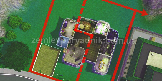
Division of a land plot. Procedure 2026
To divide a land plot is a question that arises quite often in life and requires a certain awareness of the procedure for dividing a land plot as defined by the current legislation and some practical experience.

Documents and actions required to divide a land plot
First of all, it should be noted that the basis for the division of a land plot is a notarized application of the land plot owner and technical documentation for the division of the land plot prepared by a land management organization. See a sample notarized application for the division of a land plot.
In addition to a notarized application for the division of a land plot, the land management organization must also be provided with a land surveyor:
- a notarized copy of the title document to the land plot (state deed, contract of sale, gift, exchange, certificate of inheritance, certificate of ownership of real estate, etc;)
- copies of the owner's identification data (passport, identification number).
It should be understood that if there are several owners of a land plot (common partial ownership between co-owners), then a notarized agreement for the division of the land plot between the co-owners must be concluded.
It should also be understood that the designated purpose of the land plots formed as a result of the division of the original land plot cannot change, but remains the same as that of the original land plot (before the division). Read more about changing the designated purpose of a land plot in our article on the procedure for changing the designated purpose of a land plot.
Registration of technical documentation for the division of a land plot in the SLC and an extract from the cadastre
The technical documentation for the division of the land plot developed by the land surveying organization is submitted to the local department of the StateGeoCadastre (at the location of the land plot), which registers the newly formed land plots in the State Land Cadastre of Ukraine. After the new plots are registered in the SLC, the state cadastral registrar (working in the local department of the StateGeoCadastre) issues extracts from the cadastre (SLC) to confirm the changes.
Each land plot formed as a result of the division is assigned a new cadastral number, which will be indicated in the relevant cadastral extract. See the Extract from the cadastre (SLC) as a sample.
Registration of ownership of land plots formed as a result of division
After obtaining extracts from the cadastre for the land plots formed as a result of the division, you should contact an administrative service center or a notary to register your ownership rights separately for each land plot formed as a result of the division. For a more detailed understanding of the procedure for registering a property right to a land plot, please read our article on the procedure for registering a right to a land plot in the register of property rights.
A few words about the merger of land plots
The procedure for combining land plots does not differ significantly from the procedure for dividing a land plot, it is carried out on the same grounds, but in practice it is much less common. That is why we have not paid attention to this type of land management work in this article.
Also, don't forget to like our beautiful Facebook and Instagram pages;)
See also: technical documentation for establishing boundaries, extract from the state land cadastre, removal of fertile soil layer


