Establishment of land plot boundaries in Ukraine
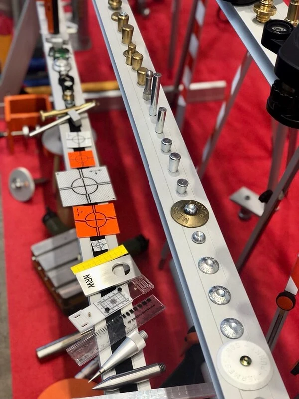
Establishing the boundaries of a land plot in kind (on the ground) actually means fixing the points of the turning corners of the plot on the ground. When establishing the boundaries, a surveyor fixes boundary markers on the land plot.

At present, the current legislation does not specify a special sample (type) of boundary marker that fixes the points of turning corners of a land plot.
The procedure for establishing boundaries is regulated by Article 106 and Article 198 of the Land Code of Ukraine, which provide for a general requirement to coordinate boundaries with adjacent landowners (land users) when establishing boundaries. At the same time, the type of boundary marks is not regulated.
In practice, the surveyor fixes the turning points with the materials available to the owner/user of the land plot.
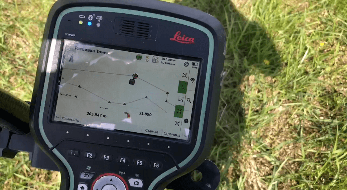
The boundaries of a land plot are established after the land management project or technical documentation for the land plot has been drawn up and after the land plot has been registered in the state land cadastre. In order to establish the boundaries, it is necessary that the land plot has already been registered in the cadastre, since the procedure of boundary fixation itself is essentially the transfer of the coordinates of the turning points of the plot from the cadastre to the ground using special equipment (a total station or a special RTK GPS GNSS receiver).


General cases in which it is necessary to establish (restore) the boundaries of a land plot in kind:
- loss or damage of previously installed boundary markers;
- construction works on the land plot (including when installing a land plot fence);
- when resolving boundary disputes with owners of neighboring land plots;
- drilling of wells;
- acquisition of a land plot by a new owner;
- in other cases.
Procedure for establishing the boundaries of a land plot
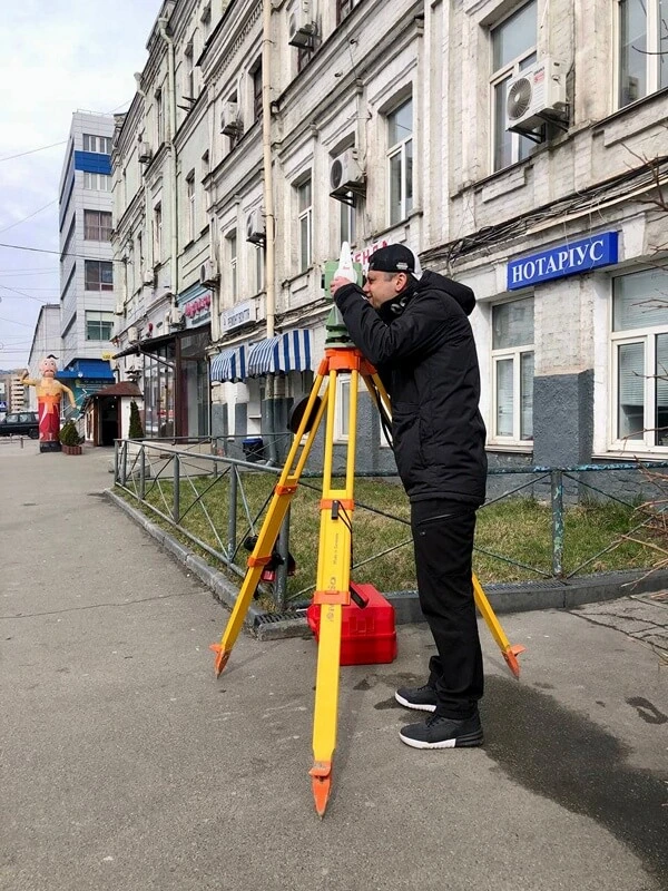
After receiving the initial information about the land plot, the surveyor goes to the location of the land plot and uses special equipment (electronic total station, RTK GPS GNSS receiver) and the available coordinates of the plot to determine the points of turning angles.
The identified points are fixed with boundary markers. At the request of the owner, boundary markers may not be installed in those places where the boundaries of the land plot coincide with natural and artificial linear structures and boundaries (streams, canals, rivers, roads, forest belts, road structures, fences, building facades, fences, boundaries, etc.)
The installation of boundary markers on a land plot is carried out by a surveyor with the participation of the owner (user) of the plot. As a result of fixing the land plot with boundary marks, an act of establishing the boundaries of the land plot in kind (on the ground) is drawn up with the signature and seal of a certified land surveyor or surveyor engineer. The original copy of the act is issued to the owner of the land plot.
The act of restoration of land plot boundaries is drawn up in case of restoration of previously established boundary markers, i.e., when re-establishing the boundaries of a land plot.
Also, don't forget to like our beautiful Facebook and Instagram pages;)
See also: assigning a cadastral number in Ukraine, extract from the state land cadastre, division (merging) of a land plot


