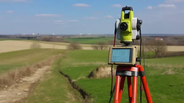
Cadastral survey of a land plot in Ukraine
Cadastral surveying involves determining the coordinates of a land plot, points of turning angles, restrictions, boundaries of neighboring land plots, contours of buildings and other data. The cadastral survey data is one of the bases for drawing up a cadastral plan of a land plot when developing any type of land management documentation, whether it is a land management project for land allocation, change of land use, crop rotation project, working project for removal, movement and storage of fertile soil layer, or technical documentation for establishing the boundaries of a land plot.

The cadastral survey is carried out by a certified surveyor using special instruments (total station, RTK GNSS systems). The cadastral survey data must be linked to the points of the State Geodetic Network of Ukraine. During the cadastral survey, the measuring device stores data that is subsequently used by the land surveyor in the development of land management documentation.
Also, don't forget to like our beautiful Facebook and Instagram pages;)
See also: technical documentation for establishing boundaries, exchange file xml for a land plot in Ukraine, construction passport for a house


